
Pharr Neighbors Block Sources
The strongest public starting point for Pharr neighbors is parcel adjacency, not a compiled list of people. Parcel boundaries and legal descriptions place an address among surrounding lots. Tax and appraisal records can add an owner or a mailing-address lead. A plat describes lot, block, and subdivision context. Community and civic sources can explain how a block fits into a neighborhood, but none of those sources proves personal relationships or who occupies every address today.
| Source | What It Shows About a Block | Access |
|---|---|---|
| HCAD and RGV911 GIS | Parcel outlines, roads, subdivisions, building footprints, and city or county context | Official HCAD route; GIS query fields were not verified |
| Hidalgo tax search | Separate searches by property address, account, CAD reference, owner, or fiduciary number | Official tax portal |
| County Clerk records | Deeds, plats, subdivision context, liens, releases, and legal descriptions | Official-records search plus clerk copies or inspection |
| Texas HOA certificate search | Association or management-certificate leads, not a household roster | State search tool; data carries a completeness disclaimer |
| City civic records | Tract, public-meeting, board, and Community Development Council context | Pharr Community Development Council |
An owner is not always an occupant, and a mailing address is not always the parcel location. A common surname or shared address does not establish a family, social, or household relationship. Keep each source within its stated purpose before deciding whether two entries describe the same person.
Mapping Pharr Neighbors by Parcel
Use a short address-to-parcel flow. Normalize the street number, directional, street name, suffix, unit, and ZIP first. Hidalgo’s tax portal treats a Property Address search as “Starts With,” and its published example is 905 Oak Park. An account number or CAD reference can be a stronger key than a name. The map helps orient the block, but the recorded deed or legal description controls when a boundary matters.
- Search the focal address in the Hidalgo tax portal by property address, then retain the account number, CAD reference, location address, and parcel lead.
- Open the official HCAD route or the regional GIS layer to see parcel outlines, surrounding roads, subdivision context, and nearby parcel IDs or addresses.
- Inspect nearby parcels separately. Search each address rather than assuming a line on the map means a shared household, and keep location and mailing addresses distinct.
- Use the County Clerk’s plat, deed, or subdivision record to confirm the lot, block, section, and legal description behind the visual map.
- For a full named-street chain, move to the Pharr by-street directory, which follows address records beyond the immediate block.
RGV911’s hosted CAD basemap includes parcels, roads, subdivisions, building footprints, city and county boundaries, railroads, hospitals, schools, and churches. Its exact public search controls and update metadata were not exposed during research. Treat it as visual orientation, then verify the relevant parcel with the tax record and recorded instrument.
Pharr Neighbors and Block Plats
A plat divides or depicts land in a subdivision. For a block-level question, it can explain why parcels are adjacent and which lot or block label belongs to each parcel. Hidalgo County Clerk is the custodian for deeds, plats, liens, releases, assumed names, and related recorded instruments. Its official portal permits grantor or grantee, subdivision, document type, document number, and recorded-date searches, with index-only and index-plus-OCR options.
Read an online index as a lead until the document image, legal description, volume or page, or instrument number is reviewed. The portal does not state its online index start year, and image text is not available for every document. For an official copy or an older item, use the Clerk’s in-person, mail, phone, or record-copy channel. Historic adjacent-property work can also use TSLAC microfilm, Sanborn maps through TSLAC or TexShare, Pharr Press articles, and verified city-directory evidence, each labeled with its date.
Note: A current parcel owner may not be the named grantee in an older deed, so follow the recorded and effective dates through the chain.
Pharr Neighbors Civic Context
Neighborhood records are most useful when they describe an organization or a public civic layer, rather than when they are treated as a list of residents. The Community Development Council has 11 Pharr residents representing seven census tracts and holds public meetings, hearings, and workshops connected to Community Development Block Grant planning. City boards also include the Library Board and Planning/Zoning. A tract or board record can add context to a historical address, but it does not identify everyone on a block.
| Community resource | Block or neighborhood use | Access route |
|---|---|---|
| Community Development Council | Seven-tract civic context, public meetings, hearings, and workshops | City council information; request unpublished packets from the City Clerk |
| Library Board and Planning/Zoning | Public board and planning context for a neighborhood question | Pharr boards and committees |
| Pharr Memorial Library Local Archives | Dated newspapers, yearbooks, cemetery research, and local-history context | Library online resources and in-person archives |
The Pharr Community Development Council identifies the city’s civic, tract-based layer.
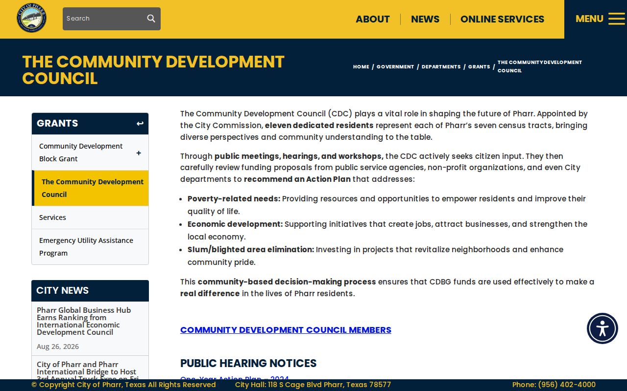
Meeting materials and official maps can help place an address in a public planning context. They should not be used to infer an individual’s membership, residence, or views from a tract alone.
Pharr Neighbors Association Leads
The Texas management-certificate search provides an association layer for a neighborhood, but it is not a source for household names. Its visible filters include HOA Name, County, City, ZIP, and Type. The research found Pharr or 78577 results for Sam Houston Heights HOA, Moore Heights Subdivision HOA, VIP Estates HOA, Southgate POA, Carmel Estates HOA, Brentwood HOA, and Pharr South POA. Because the data is user-provided and carries a completeness and reliability disclaimer, confirm a current management contact or certificate directly.
The Texas management-certificate search displays the available association filters.

Use an association result to understand whether an address may sit within a named community. Do not assume that an association result confirms occupancy, membership, or permission to contact a particular person.
Pharr Block Voter Context
Voter records have a public and private split. Texas guidance says name, date of birth, voter ID, and elections voted are public in the described context, but how someone voted is not. Social Security numbers, driver-license numbers, and DPS ID numbers are confidential. The statewide voter-file request is a formal state product, not a neighborhood shortcut: it uses a notarized affidavit, has a deposit and payment process, and carries statutory use restrictions.
For individual election status, use the authorized Texas route or contact Hidalgo County Elections for local questions. A suspense status means that the registrar needs address confirmation, commonly after undeliverable official mail. It does not prove that someone no longer lives at an address. Protected entries can show an asterisk, and residential addresses may be protected for qualifying survivors, peace officers, and other eligible people. Never use a parcel, a map, or another source to reconstruct a protected address.
Pharr Neighbor Tool Comparison
Official and commercial neighbor tools answer different questions. A county parcel, tax, or recorded-instrument source identifies the custodian, record date, and type of property connection. A commercial category may combine sources, but its matching, freshness, correction, and opt-out practices can vary. Neither category establishes a complete household list, and the official record should be checked when a detail matters.
| Source category | Useful for | Important limit |
|---|---|---|
| Official parcel, tax, and Clerk records | Parcel identifiers, land descriptions, owner or mailing leads, recorded instruments, and source dates | May not show occupants; online information can be incomplete or informal |
| Official city and civic records | Public meeting, permit, code, board, or tract context tied to an address or topic | Use the correct custodian and request existing records rather than a newly compiled list |
| Commercial neighbor-lookup category | Possible leads that require independent checking | Matching and freshness vary; use documented correction or opt-out channels if needed |
Where an official source does not show a needed record, a narrow request to the custodian is more reliable than guessing from a composite result. Keep the source, the record date, and the limitation beside every block-level note.
Pharr Block Record Requests
Some address-related files are held by a city or county department rather than a public search screen. Hidalgo County requires public-information requests in writing. Its instructions provide email at open.records@co.hidalgo.tx.us, fax, mail, and in-person delivery through the County Executive Office. A request should identify names, documents, locations, dates, and a detailed description. The county may route a municipal property permit, code, or city-taxing-entity matter back to the relevant city custodian.
The Hidalgo County public-information instructions set out the county’s written-request channels.
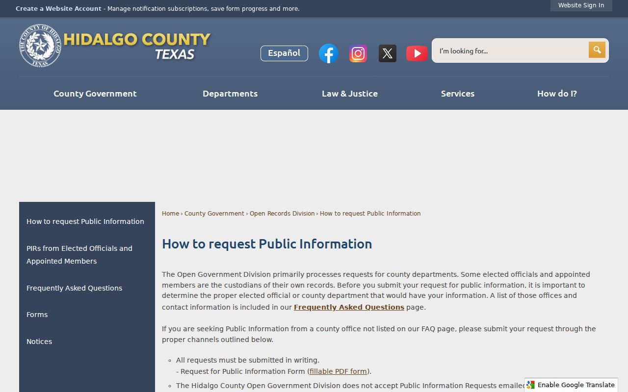
Pharr uses its own written request process for existing city records. For a permit, inspection, complaint, or code item, identify the address, date range, department, and specific record type, then ask to inspect or obtain copies. A public-information request is not a request for an agency to decide who lives on a block.
Pharr Neighbor Privacy Boundaries
A public block record is not permission to assemble unnecessary personal details. Do not copy Social Security numbers, driver-license numbers, payment details, protected voter information, victim identifiers, private medical material, or restricted court information. A parcel map is approximate and informational, not a legal survey. Use the deed or legal description for a boundary question, and do not infer personal relationships from shared mailing addresses, adjacent parcels, or a common surname.
Texas address-confidentiality protections can make an eligible person’s residential address unavailable or masked. Stop when a record is protected. If a property address or owner name is inaccurate, ask the original custodian about correction or redaction routes, such as the HCAD address-correction process. Texas Penal Code §42.072 creates a serious limit on repeated conduct that causes the required fear or distress.
Lawful use. Pharr neighbors research can support personal safety awareness, family history, civic context, and neighborhood curiosity. Never use it to watch, stalk, harass, intimidate, or defeat an address-protection program.